Academic News
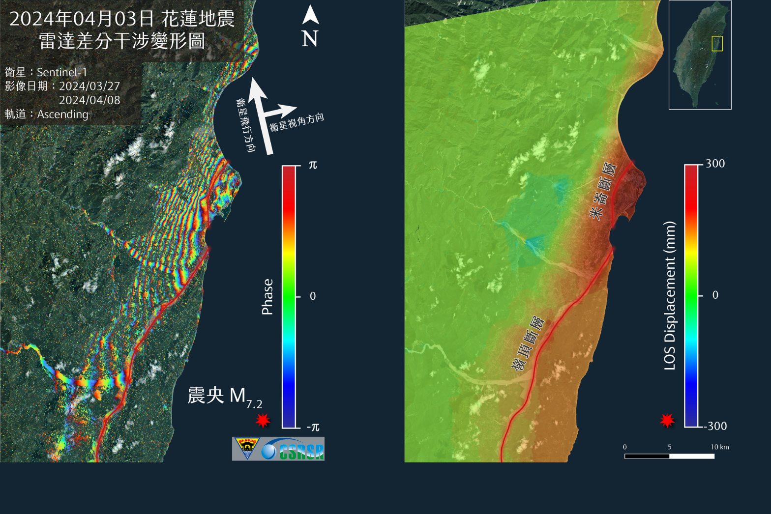
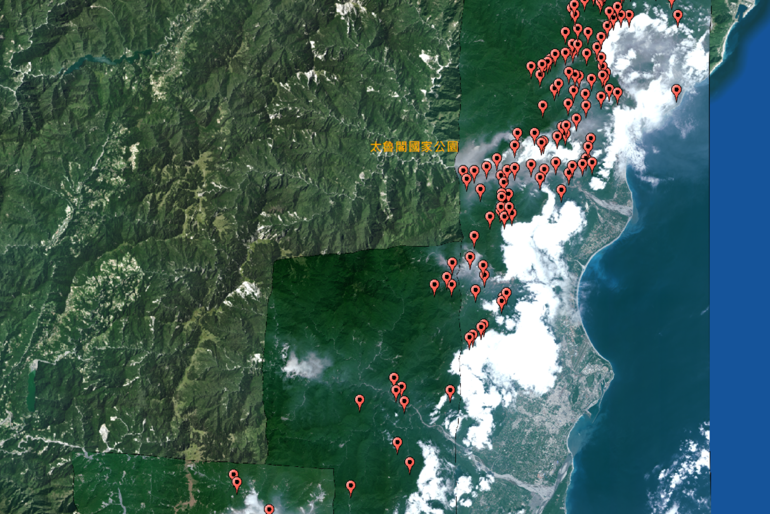
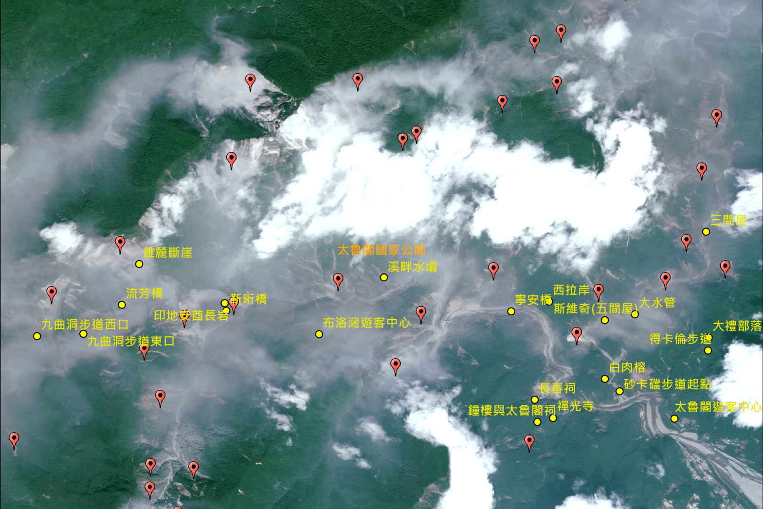
On April 3rd, a magnitude 7.2 earthquake struck off the coast of Hualien. The Center for Space and Remote Sensing Research (CSRSR) at National Central University (NCU) immediately activated its emergency satellite image acquisition and processing protocol, providing related government units with the very-high-resolution satellite images it received to aid in disaster assessment and investigation. Radar satellite image analysis revealed significant surface uplift deformation along the Hualien coast after the earthquake, with a maximum LOS (Line of Sight) deformation of about 30 centimeters on the east side of the Milun Fault and about 15 centimeters on the east side of the Lingding Fault.
The CSRSR's Resource Satellite Ground Receiving Station is the only facility in Taiwan capable of directly receiving signals from the high-resolution SPOT satellites and 50-centimeter very-high-resolution Pléiades satellites of Airbus Defense and Space. It can also provide TerraSAR-X radar satellite images with a maximum spatial resolution of 25 centimeters, along with other optical and radar satellite images and value-added products and services. The multi-satellite image processing system independently developed by the CSRSR can generate orthorectified satellite images with high-precision geo-reference and other value-added products for subsequent interpretation, analysis, and integrated applications, providing the most timely and diverse satellite remote sensing data for disaster investigation analysis and decision support for disaster prevention and relief. The direct receiving capability and diversified value-added products and services provided by CSRSR significantly contributes to the subsequent research on and applications of disaster prevention and relief.